

Weh Fi RideCar rental
25/8 Car Rental
Kingston

Kingston parish
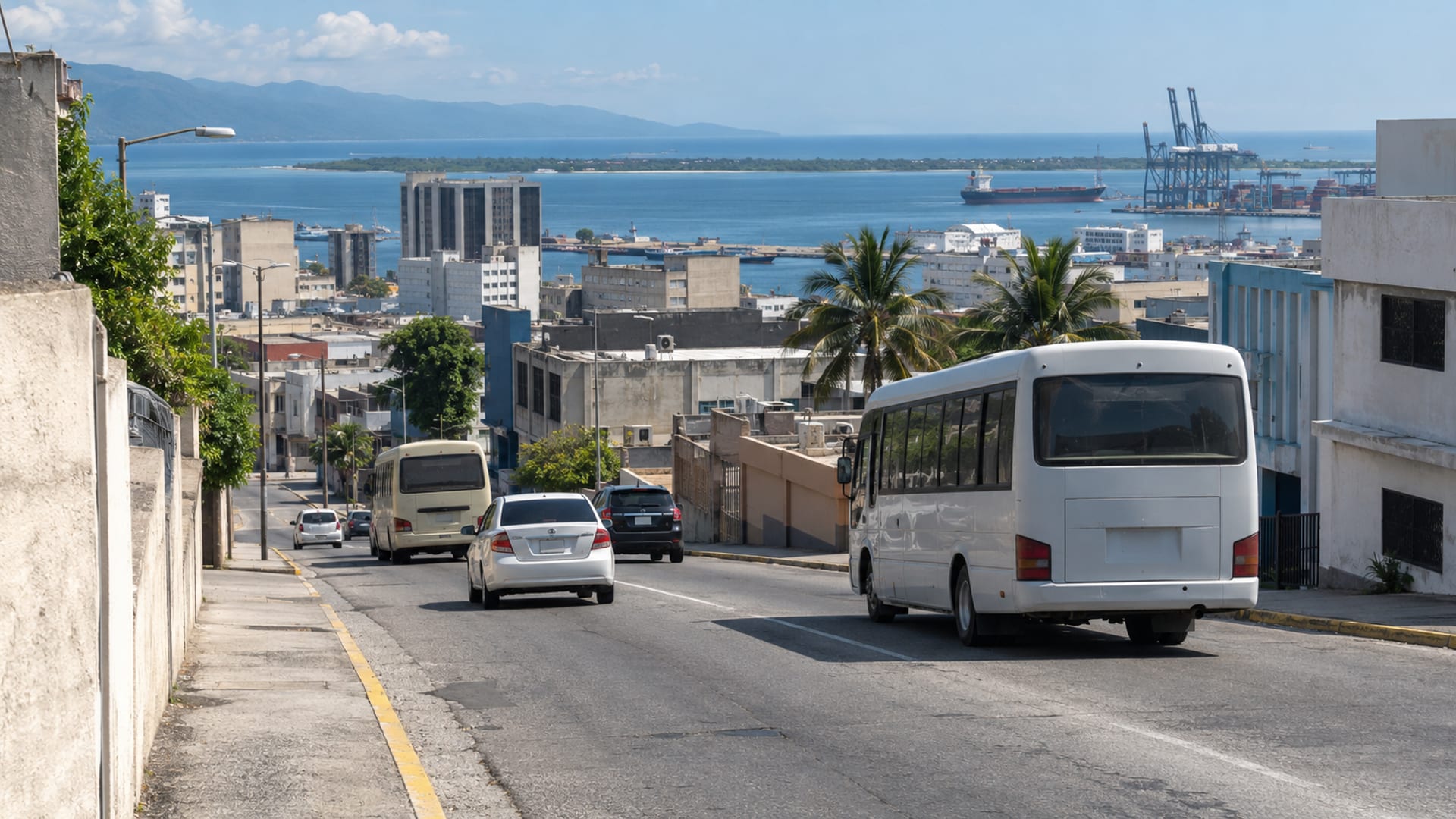
Use JUTC buses for scheduled urban routes, route taxis for fixed corridors, charter taxis or rental cars for direct trips, and scheduled intercity coaches for travel to other Jamaican towns. Kingston’s main transfer points are Downtown, Half-Way Tree, Cross Roads, New Kingston and Parade. Norman Manley International Airport is reached by Palisadoes Road, about twenty minutes from Kingston’s business centre.
Browse by town
Each town page lists its transport operators with addresses and phone numbers.
Every operator
Tap a service to narrow the list.
Showing 24 of 110
Norman Manley International Airport is on the Palisadoes peninsula. The Jamaica Tourist Board estimates about twenty minutes to Downtown Kingston and about thirty minutes to New Kingston. Tinson Pen Aerodrome, on Ashenheim Road, serves domestic flights, private aviation, training and airfreight.
Port Royal Cruise Port is also on the Palisadoes peninsula. Kingston Freeport Terminal and Kingston Wharves are in the harbour area and are mainly used for cargo and maritime operations. Allow extra time when travelling along Palisadoes Road, especially if your airport or port connection has a fixed departure time.
JUTC operates scheduled services across Kingston and the wider metropolitan area, including Downtown, Half-Way Tree, New Kingston, Cross Roads, Papine and Golden Spring. Route 12Ax, for example, runs between Naggo Head and New Kingston on weekdays, with stops including Dawkins Drive, Three Miles and Half-Way Tree. Check the current JUTC routes and timetables for your date.
Downtown services use several nearby facilities. Water Lane accommodates rural stage buses, route taxis and other public transport services, while Parade and Pechon Street serve additional bus and taxi movements. Route taxis carry several passengers along approved corridors, such as Downtown to Papine, Cross Roads or New Kingston. The Transport Authority route and fare information should be checked before departure.
For travel between Kingston and other towns, Knutsford Express operates scheduled coaches from locations including New Kingston, Washington Boulevard and Harbour View. JUTC accepts cash and SmartFare. Route taxis and privately operated buses are generally cash-based unless the operator states otherwise, so carry Jamaican dollars in smaller denominations.
Mandela Highway links Kingston with Spanish Town and the Highway 2000 network. Other useful corridors include the Portmore Causeway, Marcus Garvey Drive, Spanish Town Road, Hagley Park Road, Hope Road, Old Hope Road, Waterloo Road and Windward Road.
Palisadoes Road serves Harbour View, Norman Manley International Airport and Port Royal. The P.J. Patterson Highway connects the Mandela Highway interchange with the May Pen area. Traffic and road conditions can change, so allow extra time for airport, port and intercity travel.
JUTC uses route numbers and scheduled services, while route taxis follow fixed corridors and private charter taxis arrange direct trips for individuals or groups. Confirm the particular departure point, timetable and fare for your route, especially for early or late travel.
SmartFare cards are available through JUTC locations including Half-Way Tree Transport Centre and Downtown Transport Hub. Intercity coach departures use specific commercial locations, not every public transport terminal.
Some storage in your browser keeps the site working, like remembering your light or dark theme. With your permission, we would also use Google Analytics and Microsoft Clarity to see how people use Weh Fi Ride so we can make it better, and show Google Maps where a page has one. None of them loads until you choose. Privacy policy · Cookie policy